
Planet Labs expands restrictions on West Asia satellite imagery
 3 Min Read
California-based Planet Labs is delaying access to its West Asia satellite imagery to avoid "adversaries" from benefiting from it, reflecting the growing impact of commercial satellites on modern military wars.
-
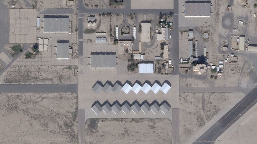
A satellite view shows the Ali Al Salem Base near Al Jahra, Kuwait, February 22, 2026. 2026. (Planet Labs PBC /Handout)
California-based Planet Labs has expanded restrictions on accessing its commercial satellite imagery of West Asia, citing concerns about "adversaries" using the images to target the US and its allies, highlighting how commercial space technology is becoming a key factor in modern military battles.
Planet Labs, which operates a large fleet of Earth-imaging satellites and provides frequently updated images to governments, companies, and media, announced on Monday that it is extending the delay on accessing its imagery from four days to 14 days.
A Planet spokesperson told Reuters that the extension is temporary and intended to “limit any uncontrolled distribution of the images that might result in their unintentional access and use as tactical leverage by adversarial actors.”
“This conflict is dynamic and in many ways unique to others, and thus Planet is taking robust steps to help ensure our images do not contribute in any way to attacks on allied and NATO personnel and civilians," the spokesperson added.
Analysts note that the extended delay conveniently limits public visibility of recent Iranian missile activity, including operations demonstrating Iran’s precision capabilities in West Asia.
Commercial satellite imagery and modern warfare
Space specialists have highlighted that countries such as Iran may also access commercial satellite imagery, either directly or through other channels, allowing them to monitor threats without interference.
Militaries rely on satellite imagery for identifying targets, guiding weapons, tracking missiles, and securing communications. US officials recently emphasized that space forces were among “the first movers” in operations against Iran, reflecting how commercial satellite imagery plays a central role in monitoring and responding to Iranian defenses and operations.
High-quality satellite imagery, once restricted to advanced space powers, is now widely available through commercial providers. The war in Ukraine demonstrated how timely satellite images can level the playing field for militaries and analysts. To stay ahead, satellite operators increasingly deploy AI to analyze images more quickly and pinpoint areas of interest.
Chris Moore, a defense industry consultant and retired British air vice-marshal, noted: “This expert analysis used to be the preserve of high-end military analysts, not anymore. Ultimately, it will create an all-seeing eye from space that will make the concealment of military forces and deception operations difficult to achieve.”
The US Space Command declined to disclose specific capabilities but confirmed its role in missile tracking, secure communications, and providing satellite overwatch for the US and its allies.
With Planet Labs restricting access, independent observers and media have limited ability to track Iran’s missile operations in West Asia, illustrating how commercial satellite control can influence public understanding of regional military dynamics.


